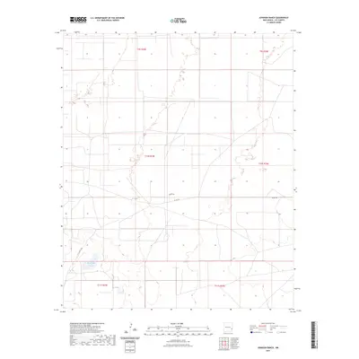
2023 Map of Johnson Ranch
USGS Topo · Published 2023About this map
North Lake and East Lake sit at the southern edge of this West Texas and New Mexico borderlands landscape, marking the interior drainage basins common to the High Plains. The terrain is structured by the Public Land Survey System across Lea County, with township boundaries including t10s r34e and t10s r35e defining the ranching and resource management blocks of the era. Settlement remains sparse, concentrated along rural corridors such as Co Rd 165 and Peveler Dr. This map provides a contemporary look at the ranching infrastructure and hydrological features that continue to shape the geographic character of this section of the Llano Estacado.
Find a feature on this map
10 named features on this map. Tap any name to fly to it.
Don’t see what you’re looking for? This feature index may not catch every label — zoom into the map to look around manually.
Map Details
Editions of this 2023 Johnson Ranch Map
This is the sole edition of this map. No revisions or reprints were ever made.
Other maps of this area

1954 · Brownfield
USGS Topo · 1:250,000

1958 · Brownfield
USGS Topo · 1:250,000

1961 · Johnson Ranch
USGS Topo · 1:24,000

1962 · Brownfield
USGS Topo · 1:250,000

1970 · Johnson Ranch
USGS Topo · 1:24,000

1970 · Simanola Valley
USGS Topo · 1:24,000

1970 · Ranger Lake
USGS Topo · 1:24,000

1970 · Tatum North
USGS Topo · 1:24,000

1972 · Milnesand SW
USGS Topo · 1:24,000

1972 · Crossroads
USGS Topo · 1:24,000