
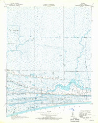
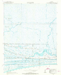
1934 Map of Johnsons Bayou
USGS Topo · Published 1955About this map
Smith Ridge and Junius Ridge rise above the marshy wetlands of coastal Cameron Parish, revealing the critical role of topographic elevation in this low-lying landscape. Surveyed in 1934, the map documents a tight cluster of community life centered around the Johnsons Bayou PO BM and the local Johnsons Bayou Sch. The distribution of family names and infrastructure, such as the Pevoto Cemetery, highlights how settlement followed these natural cheniers or ridges, which provided stable ground amidst the surrounding bayous.
Find a feature on this map
19 named features on this map. Tap any name to fly to it.
Don’t see what you’re looking for? This feature index may not catch every label — zoom into the map to look around manually.
Map Details
Editions of this 1934 Johnsons Bayou Map
3 editions found
Other maps of this area

1932 · Sabine Pass NE
USGS Topo · 1:31,680

1932 · Port Arthur NE
USGS Topo · 1:31,680

1934 · Peveto Beach
USGS Topo · 1:24,000

1934 · Greens Bayou
USGS Topo · 1:24,000

1934 · Five Lakes
USGS Topo · 1:24,000

1935 · Peveto Beach
USGS Topo · 1:31,680

1935 · Five Lakes
USGS Topo · 1:31,680

1935 · Greens Bayou
USGS Topo · 1:31,680

1935 · Johnsons Bayou
USGS Topo · 1:31,680

1943 · West of Johnson Bayou
USGS Topo · 1:24,000