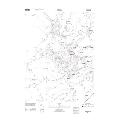
2013 Map of Johnstown
USGS Topo · Published 2013About this map
The Conemaugh River and Stonycreek River converge in this densely settled valley, defining the geography of a major Pennsylvania industrial hub. This 2013 survey records the intricate neighborhood layout of Johnstown, showing the tightly packed streets of Cambria City, Moxham, and Kernville nestled against the steep valley walls. The surrounding high ground features suburban developments like Westmont and Southmont, while industrial remnants and transport corridors follow the riverbanks through East Conemaugh and Franklin. Significant water infrastructure is visible in the hills above the city, including the Mill Creek Reservoir and Hinckston Run Reservoir, which historically served the massive steel operations that dominated this corridor. From the southern reach of Bens Creek to the northern edge of Goods Corner, the map documents the modern footprint of a city shaped by its river-driven economy and complex topography.
Find a feature on this map
77 named features on this map. Tap any name to fly to it.
Don’t see what you’re looking for? This feature index may not catch every label — zoom into the map to look around manually.
Map Details
Editions of this 2013 Johnstown Map
This is the sole edition of this map. No revisions or reprints were ever made.
Other maps of this area

1904 · Johnstown
USGS Topo · 1:62,500

1907 · Johnstown
USGS Topo · 1:62,500

1913 · Somerset
USGS Topo · 1:62,500

1914 · Windber
USGS Topo · 1:62,500

1915 · Somerset
USGS Topo · 1:62,500

1916 · Windber
USGS Topo · 1:62,500

1920 · New Florence
USGS Topo · 1:62,500

1921 · New Florence
USGS Topo · 1:48,000

1922 · New Florence
USGS Topo · 1:62,500

1944 · Somerset
USGS Topo · 1:62,500