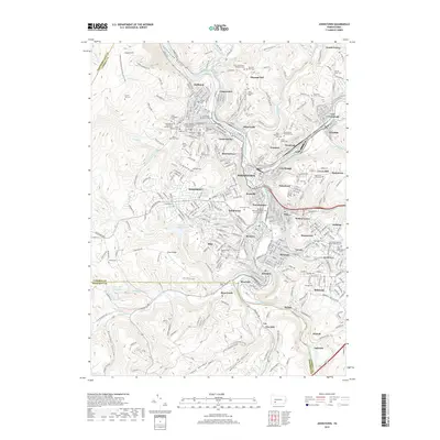
2019 Map of Johnstown
USGS Topo · Published 2019About this map
Johnstown and its surrounding boroughs sit at the confluence of the Stonycreek River and the Little Conemaugh River, forming the headwaters of the Conemaugh River. This landscape is defined by deep river valleys and the looming Laurel Hill to the west, where the Conemaugh Gorge cuts through the ridge. The map reveals an exceptionally dense concentration of ethnic and denominational heritage through its numerous cemeteries, such as Saint Nicholas Serbian Orthodox Church Cem, Hungarian Cem, and Saint Marys Byzantine Catholic Cem. These labels reflect the industrial migration patterns of the early twentieth century that shaped neighborhoods like Cambria City and Minersville. Higher elevations like Westmont and Southmont overlook the central business district, while the outlying hollows like Heckman Hollow and Moonshine Hollow show the transition into the more rural terrain of Cambria Co and Somerset Co.
Find a feature on this map
378 named features on this map. Tap any name to fly to it.
Don’t see what you’re looking for? This feature index may not catch every label — zoom into the map to look around manually.
Map Details
Editions of this 2019 Johnstown Map
This is the sole edition of this map. No revisions or reprints were ever made.
Other maps of this area

1904 · Johnstown
USGS Topo · 1:62,500

1907 · Johnstown
USGS Topo · 1:62,500

1913 · Somerset
USGS Topo · 1:62,500

1914 · Windber
USGS Topo · 1:62,500

1915 · Somerset
USGS Topo · 1:62,500

1916 · Windber
USGS Topo · 1:62,500

1920 · New Florence
USGS Topo · 1:62,500

1921 · New Florence
USGS Topo · 1:48,000

1922 · New Florence
USGS Topo · 1:62,500

1944 · Somerset
USGS Topo · 1:62,500