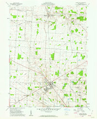
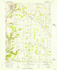
1961 Map of Johnstown
USGS Topo · Published 1962About this map
The village of Johnstown serves as the focal point of this Licking County landscape, positioned at a historic crossroads where the New York Central railroad once cut through the agricultural heartland. This 1961 field-checked survey reveals a rural society structured around small settlements like Concord and the dual-named Hartford Croton PO. The terrain is defined by the drainage of Raccoon Creek and the Licking River, with local life anchored by institutions such as the Fairgrounds and various country churches, including Harmony Ch and Concord Ch. For genealogists, the map is particularly useful for locating family plots in Green Hill Cemetery, Lake Cem, and the uniquely named Twelve Corners Cem. The presence of a Country Club and Beaver Lake near the main village indicates the mid-century growth and recreational development typical of central Ohio during this era.
Find a feature on this map
26 named features on this map. Tap any name to fly to it.
Don’t see what you’re looking for? This feature index may not catch every label — zoom into the map to look around manually.
Map Details
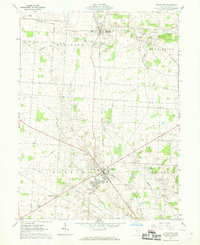
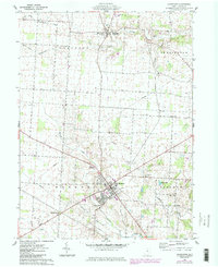
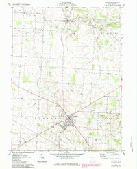
Editions of this 1961 Johnstown Map
4 editions found
Other maps of this area

1902 · Westerville
USGS Topo · 1:62,500

1904 · Westerville
USGS Topo · 1:62,500

1908 · Granville
USGS Topo · 1:62,500

1910 · Granville
USGS Topo · 1:62,500

1915 · Marengo
USGS Topo · 1:62,500

1915 · Fredericktown
USGS Topo · 1:62,500

1943 · Marengo
USGS Topo · 1:62,500

1943 · Fredericktown
USGS Topo · 1:62,500

1950 · Marion
USGS Topo · 1:250,000
1955 · Sunbury
USGS Topo · 1:24,000