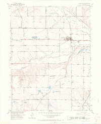
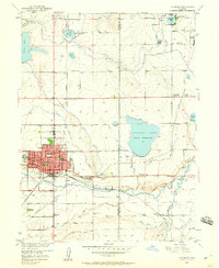
1950 Map of Johnstown
USGS Topo · Published 1970About this map
Johnstown anchors this northern Colorado landscape at a time when the sugar beet industry and complex irrigation systems defined the regional economy. The Great Western railroad cuts across the terrain, connecting small shipping points and agricultural hubs like Pulliam, Buda, and Hardman. This network of rails supported landmarks like the Walker Elevator, while the surrounding fields relied on an intricate web of water management, including the Handy Ditch, Supply Ditch, and Hillsboro Ditch.
Find a feature on this map
38 named features on this map. Tap any name to fly to it.
Don’t see what you’re looking for? This feature index may not catch every label — zoom into the map to look around manually.
Map Details
Editions of this 1950 Johnstown Map
5 editions found

Other maps of this area

1902 · Greeley
USGS Topo · 1:125,000

1904 · Niwot
USGS Topo · 1:62,500

1906 · Loveland
USGS Topo · 1:62,500

1908 · Loveland
USGS Topo · 1:62,500

1949 · Gowanda
USGS Topo · 1:24,000

1949 · Platteville
USGS Topo · 1:24,000

1950 · Gowanda
USGS Topo · 1:24,000

1950 · Platteville
USGS Topo · 1:24,000

1950 · Windsor
USGS Topo · 1:24,000
1950 · Longmont
USGS Topo · 1:24,000