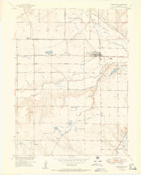
1951 Map of Johnstown
USGS Topo · Published 1951About this map
Agricultural development and water management define this mid-century landscape where the Big Thompson River and Little Thompson River converge. The town of Johnstown serves as the central hub, supported by a network of smaller shipping points and sidings including Elwell, Pulliam, and Buda. The map reveals the intricate reliance on gravity-fed irrigation for the local sugar beet and grain economies, with a dense system of canals such as the Hillsboro Ditch and Farmers Extension Ditch crisscrossing the Larimer and Weld county line.
Find a feature on this map
39 named features on this map. Tap any name to fly to it.
Don’t see what you’re looking for? This feature index may not catch every label — zoom into the map to look around manually.
Map Details
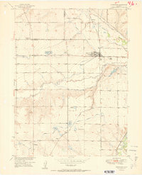
Editions of this 1951 Johnstown Map
2 editions found
Other maps of this area

1902 · Greeley
USGS Topo · 1:125,000

1904 · Niwot
USGS Topo · 1:62,500

1906 · Loveland
USGS Topo · 1:62,500

1908 · Loveland
USGS Topo · 1:62,500

1949 · Gowanda
USGS Topo · 1:24,000

1949 · Platteville
USGS Topo · 1:24,000

1950 · Gowanda
USGS Topo · 1:24,000

1950 · Platteville
USGS Topo · 1:24,000

1950 · Windsor
USGS Topo · 1:24,000
1950 · Longmont
USGS Topo · 1:24,000