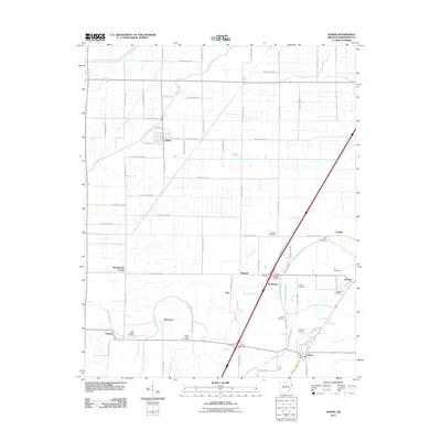
2011 Map of Joiner
USGS Topo · Published 2011About this map
The Tyronza River and Frenchmans Bayou define the agricultural landscape of this Mississippi County region, where the planned community of Dyess stands as a significant landmark. The area is marked by a grid of county roads that service several small settlements, including Joiner, Bassett, and Wardell. Local history is deeply embedded in the numerous burial sites scattered across the township, such as Saint Marys Cemetery near Chelford and Mount Pisby Cemetery to the east.
Find a feature on this map
61 named features on this map. Tap any name to fly to it.
Don’t see what you’re looking for? This feature index may not catch every label — zoom into the map to look around manually.
Map Details
Editions of this 2011 Joiner Map
This is the sole edition of this map. No revisions or reprints were ever made.
Other maps of this area

1931 · Jericho
USGS Topo · 1:62,500

1939 · Jericho
USGS Topo · 1:62,500

1939 · Evadale
USGS Topo · 1:62,500

1940 · Deckerville
USGS Topo · 1:62,500

1941 · Marked Tree
USGS Topo · 1:62,500

1952 · Jericho
USGS Topo · 1:62,500

1953 · Memphis
USGS Topo · 1:250,000

1956 · Evadale
USGS Topo · 1:62,500

1956 · Marked Tree
USGS Topo · 1:62,500

1956 · Memphis
USGS Topo · 1:250,000