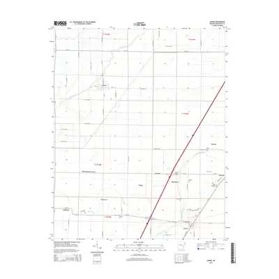
2014 Map of Joiner
USGS Topo · Published 2014About this map
Dyess stands as a focal point of this agricultural landscape in eastern Arkansas, where the geometric precision of the Public Land Survey System defines the placement of roads and farmsteads. The winding course of the Tyronza River in the northwest and Frenchmans Bayou in the southeast provide the only organic lines against a strict grid of county roads, such as W Co Road 1020 and S Co Road 139.
Find a feature on this map
60 named features on this map. Tap any name to fly to it.
Don’t see what you’re looking for? This feature index may not catch every label — zoom into the map to look around manually.
Map Details
Editions of this 2014 Joiner Map
This is the sole edition of this map. No revisions or reprints were ever made.
Other maps of this area

1931 · Jericho
USGS Topo · 1:62,500

1939 · Jericho
USGS Topo · 1:62,500

1939 · Evadale
USGS Topo · 1:62,500

1940 · Deckerville
USGS Topo · 1:62,500

1941 · Marked Tree
USGS Topo · 1:62,500

1952 · Jericho
USGS Topo · 1:62,500

1953 · Memphis
USGS Topo · 1:250,000

1956 · Evadale
USGS Topo · 1:62,500

1956 · Marked Tree
USGS Topo · 1:62,500

1956 · Memphis
USGS Topo · 1:250,000