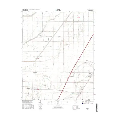
2017 Map of Joiner
USGS Topo · Published 2017About this map
Joiner and Dyess anchor this survey of the Mississippi County delta, revealing a landscape defined by an intricate network of drainage and local transport. The terrain is crisscrossed by waterways like Frenchmans Bayou and the meandering Tyronza River, which dictate the placement of small agricultural hubs such as Bassett, Wardell, and Mcclendons Corner. This area is particularly dense with sites of interest for genealogists, featuring numerous small family and community burial grounds including Mount Pisby Cem, Harston Cem, and Louise Cem. The grid-like arrangement of county roads, such as Co RD 940 and W Co RD 1020, illustrates the modern organization of the Arkansas bottomlands, where even smaller settlements like Chelford and Norden maintain their place in the regional geography.
Find a feature on this map
68 named features on this map. Tap any name to fly to it.
Don’t see what you’re looking for? This feature index may not catch every label — zoom into the map to look around manually.
Map Details
Editions of this 2017 Joiner Map
This is the sole edition of this map. No revisions or reprints were ever made.
Other maps of this area

1931 · Jericho
USGS Topo · 1:62,500

1939 · Jericho
USGS Topo · 1:62,500

1939 · Evadale
USGS Topo · 1:62,500

1940 · Deckerville
USGS Topo · 1:62,500

1941 · Marked Tree
USGS Topo · 1:62,500

1952 · Jericho
USGS Topo · 1:62,500

1953 · Memphis
USGS Topo · 1:250,000

1956 · Evadale
USGS Topo · 1:62,500

1956 · Marked Tree
USGS Topo · 1:62,500

1956 · Memphis
USGS Topo · 1:250,000