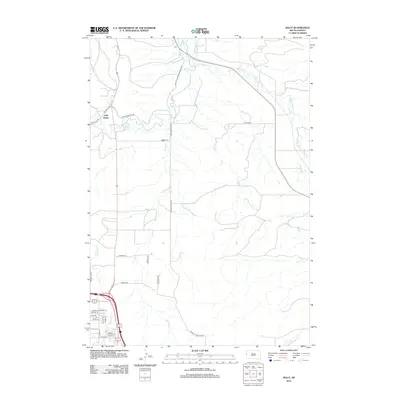
2012 Map of Jolly
USGS Topo · Published 2012About this map
Redwater River and its intricate network of irrigation and drainage infrastructure define the agricultural landscape north of Spearfish. The presence of the Case Ditch and the Redwater Canal near the settlement of Jolly illustrates the managed water systems necessary for ranching and farming in this part of Lawrence County. The terrain is marked by several seasonal and permanent waterways, including False Bottom Cr and Spring Cr, which snake through the valley floor.
Find a feature on this map
32 named features on this map. Tap any name to fly to it.
Don’t see what you’re looking for? This feature index may not catch every label — zoom into the map to look around manually.
Map Details
Editions of this 2012 Jolly Map
This is the sole edition of this map. No revisions or reprints were ever made.
Other maps of this area

1894 · Deadwood
USGS Topo · 1:125,000

1899 · Sturgis
USGS Topo · 1:62,500

1900 · Spearfish
USGS Topo · 1:62,500

1901 · Deadwood
USGS Topo · 1:125,000

1905 · Saint Onge
USGS Topo · 1:62,500

1907 · Belle Fourche
USGS Topo · 1:125,000

1907 · Redwater
USGS Topo · 1:62,500

1915 · Spearfish
USGS Topo · 1:62,500

1915 · Sturgis
USGS Topo · 1:62,500

1916 · Deadwood
USGS Topo · 1:125,000