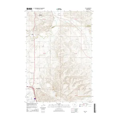
2015 Map of Jolly
USGS Topo · Published 2015About this map
The Spearfish and Belle Fourche borderlands in western South Dakota are defined here by a mix of agricultural valley floors and rising ridges. The Redwater River and Concordia Ditch trace the lower elevations, where water management has long supported local ranching and farming operations. To the south, the landscape climbs toward the prominent Lookout Mountain Rd and Paradise Ridge Rd, marking the transition into the rugged topography of the Black Hills foothills. Settlement patterns are concentrated near the outskirts of Spearfish, with numerous named residential lanes and historical landmarks like Jolly and the Jolly Dump. The map also captures the flow of Spearfish Cr and False Bottom Cr, which drain the higher ground toward the valley floor, alongside the complex network of rural roads such as Wagon Box Dr and Old Belle Rd that connect these high-plains communities.
Find a feature on this map
59 named features on this map. Tap any name to fly to it.
Don’t see what you’re looking for? This feature index may not catch every label — zoom into the map to look around manually.
Map Details
Editions of this 2015 Jolly Map
This is the sole edition of this map. No revisions or reprints were ever made.
Other maps of this area

1894 · Deadwood
USGS Topo · 1:125,000

1899 · Sturgis
USGS Topo · 1:62,500

1900 · Spearfish
USGS Topo · 1:62,500

1901 · Deadwood
USGS Topo · 1:125,000

1905 · Saint Onge
USGS Topo · 1:62,500

1907 · Belle Fourche
USGS Topo · 1:125,000

1907 · Redwater
USGS Topo · 1:62,500

1915 · Spearfish
USGS Topo · 1:62,500

1915 · Sturgis
USGS Topo · 1:62,500

1916 · Deadwood
USGS Topo · 1:125,000