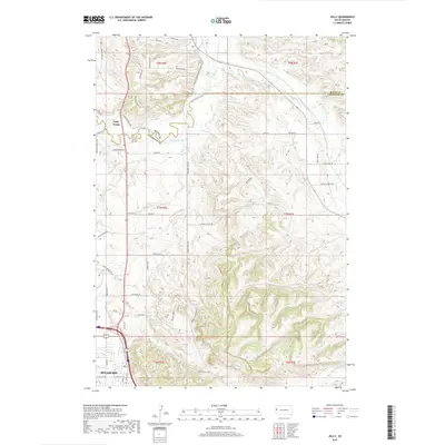
2017 Map of Jolly
USGS Topo · Published 2017About this map
Spearfish anchors the southwestern corner of this South Dakota landscape where the high plains meet the transition into more complex terrain. The drainage systems of Spearfish Creek and the Redwater River define the local topography, supported by historical irrigation infrastructure like the Concordia Ditch and Case Ditch. These waterways reflect the agricultural and resource management vital to the region's development. North of the city, the small settlement of Jolly and the Jolly Dump sit near the border of Lawrence and Butte counties.
Find a feature on this map
59 named features on this map. Tap any name to fly to it.
Don’t see what you’re looking for? This feature index may not catch every label — zoom into the map to look around manually.
Map Details
Editions of this 2017 Jolly Map
This is the sole edition of this map. No revisions or reprints were ever made.
Other maps of this area

1894 · Deadwood
USGS Topo · 1:125,000

1899 · Sturgis
USGS Topo · 1:62,500

1900 · Spearfish
USGS Topo · 1:62,500

1901 · Deadwood
USGS Topo · 1:125,000

1905 · Saint Onge
USGS Topo · 1:62,500

1907 · Belle Fourche
USGS Topo · 1:125,000

1907 · Redwater
USGS Topo · 1:62,500

1915 · Spearfish
USGS Topo · 1:62,500

1915 · Sturgis
USGS Topo · 1:62,500

1916 · Deadwood
USGS Topo · 1:125,000