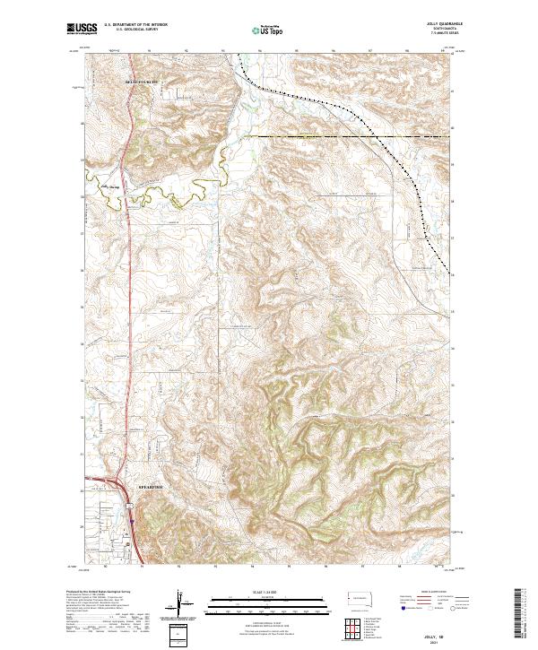
2021 Map of Jolly
USGS Topo · Published 2021About this map
Belle Fourche and Spearfish anchor the northern and southern margins of this Lawrence and Butte County landscape, where the Black Hills meet the northern plains. The topographic detail follows the winding course of the Redwater River and the engineered irrigation of the Concordia Ditch, illustrating how water management has shaped local settlement and agriculture. Jolly sits near the river's bend, while the dramatic rise of Lookout Mountain dominates the central terrain. Historic transport routes like the Old Belle Hwy and Old US Hwy 14 provide a clear view of the area's development. Researchers can trace the drainage patterns of Spearfish Cr and False Bottom Cr through a complex network of local roads including Lookout Mtn Rd and Camp Comfort Rd.
Find a feature on this map
61 named features on this map. Tap any name to fly to it.
Don’t see what you’re looking for? This feature index may not catch every label — zoom into the map to look around manually.
Map Details
Editions of this 2021 Jolly Map
This is the sole edition of this map. No revisions or reprints were ever made.
Other maps of this area

1894 · Deadwood
USGS Topo · 1:125,000

1899 · Sturgis
USGS Topo · 1:62,500

1900 · Spearfish
USGS Topo · 1:62,500

1901 · Deadwood
USGS Topo · 1:125,000

1905 · Saint Onge
USGS Topo · 1:62,500

1907 · Belle Fourche
USGS Topo · 1:125,000

1907 · Redwater
USGS Topo · 1:62,500

1915 · Spearfish
USGS Topo · 1:62,500

1915 · Sturgis
USGS Topo · 1:62,500

1916 · Deadwood
USGS Topo · 1:125,000