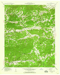
1940 Map of Jones Cove
USGS Topo · Published 1960About this map
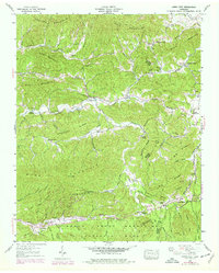
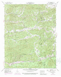
Jones Cove sits at the heart of this 1940 field examination, nestled in a landscape defined by the ridgelines of English Mountain and Webb Mountain. This Tennessee Valley Authority and USGS collaboration reveals a rural community structured around its watercourses and gaps, where numerous family cemeteries like Hurst Cem, Henry Cem, and Sutton Cem speak to deep generational ties. The map documents the social infrastructure of the time, from the Bogard Sch in the north to the Webb Creek Sch near the boundary of the Great Smoky Mountains National Park. A dense network of churches, including Laurel Spring Ch and Holder Grove Ch, are scattered along the creek branches. This survey provides a precise record of local settlement patterns before modern development altered the mountain valleys of Sevier and Cocke counties.
Find a feature on this map
70 named features on this map. Tap any name to fly to it.
Don’t see what you’re looking for? This feature index may not catch every label — zoom into the map to look around manually.
Map Details
Editions of this 1940 Jones Cove Map
6 editions found
Other maps of this area

1893 · Mt Guyot
USGS Topo · 1:125,000

1912 · Mt Guyot
USGS Topo · 1:125,000

1935 · Newport
USGS Topo · 1:48,000

1935 · Hartford
USGS Topo · 1:24,000

1935 · English Mountain
USGS Topo · 1:48,000

1935 · Clevenger
USGS Topo · 1:24,000

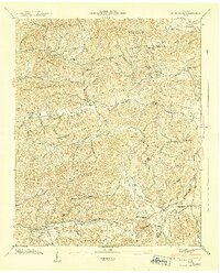
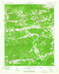
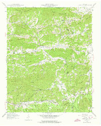
1935 · Jones Cove
USGS Topo · 1:24,000

1935 · Richardson Cove
USGS Topo · 1:24,000
1935 · Shady Grove
USGS Topo · 1:24,000
1936 · Cartertown
USGS Topo · 1:24,000