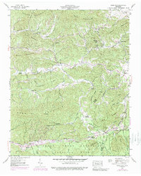
1940 Map of Jones Cove
USGS Topo · Published 1989About this map
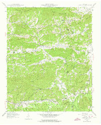
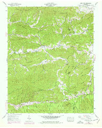
Great Smoky Mountains and the boundary of the Great Smoky Mountains National Park dominate the southern portion of this landscape, where the terrain transitions into a dense network of ridges and hollows. The settlement of Jones Cove sits at a geographic crossroads along Dunn Creek, surrounded by family-named landmarks that reflect deep roots in Sevier County. Local industry and land use are evidenced by the Williams Gem mine and a mid-century golf course near Spurgeon Creek.
Find a feature on this map
72 named features on this map. Tap any name to fly to it.
Don’t see what you’re looking for? This feature index may not catch every label — zoom into the map to look around manually.
Map Details
Editions of this 1940 Jones Cove Map
6 editions found
Other maps of this area

1893 · Mt Guyot
USGS Topo · 1:125,000

1912 · Mt Guyot
USGS Topo · 1:125,000

1935 · Newport
USGS Topo · 1:48,000

1935 · Hartford
USGS Topo · 1:24,000

1935 · English Mountain
USGS Topo · 1:48,000

1935 · Clevenger
USGS Topo · 1:24,000

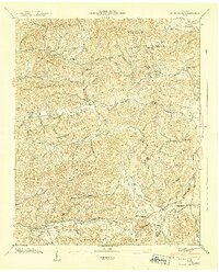
1935 · Jones Cove
USGS Topo · 1:24,000

1935 · Richardson Cove
USGS Topo · 1:24,000
1935 · Shady Grove
USGS Topo · 1:24,000
1936 · Cartertown
USGS Topo · 1:24,000