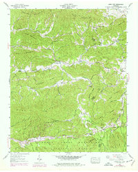
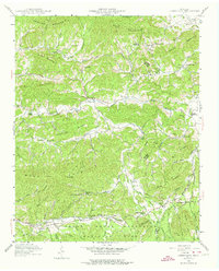
1940 Map of Jones Cove
USGS Topo · Published 1978About this map
Jones Cove serves as a central point in this landscape of ridges and creek bottoms, where the boundary between Sevier and Cocke counties follows the high ground of Rich Mountain. This 1940 field survey, later photorevised in the 1970s, captures a network of rural communities defined by small family cemeteries and country churches. Deeply carved hollows like Stillhouse Hollow and Spurgeon Hollow feed into larger drainages such as Dunn Creek and Yellow Breeches Creek, illustrating the traditional Appalachian settlement pattern where homes and roads clung to the valley floors.
Find a feature on this map
81 named features on this map. Tap any name to fly to it.
Don’t see what you’re looking for? This feature index may not catch every label — zoom into the map to look around manually.
Map Details
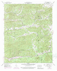
Editions of this 1940 Jones Cove Map
6 editions found
Other maps of this area

1893 · Mt Guyot
USGS Topo · 1:125,000

1912 · Mt Guyot
USGS Topo · 1:125,000

1935 · Newport
USGS Topo · 1:48,000

1935 · Hartford
USGS Topo · 1:24,000

1935 · English Mountain
USGS Topo · 1:48,000

1935 · Clevenger
USGS Topo · 1:24,000

1935 · Jones Cove
USGS Topo · 1:24,000

1935 · Richardson Cove
USGS Topo · 1:24,000
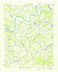
1935 · Shady Grove
USGS Topo · 1:24,000
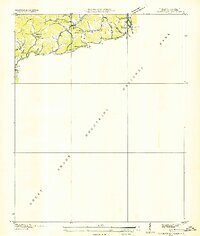
1936 · Cartertown
USGS Topo · 1:24,000