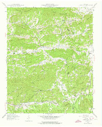
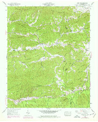
1940 Map of Jones Cove
USGS Topo · Published 1974About this map
Jones Cove serves as the central settlement in this 1940 Tennessee Valley Authority study, where the rural landscape is defined by its numerous community anchors. The map reveals a high density of small-scale social infrastructure, including several named schools such as McMann Sch and Juniper Sch, alongside prominent houses of worship like Mt Olive Ch and Howard View Ch. These sites, often located at the intersections of local branches and gaps, highlight the decentralized nature of early 20th-century mountain life.
Find a feature on this map
75 named features on this map. Tap any name to fly to it.
Don’t see what you’re looking for? This feature index may not catch every label — zoom into the map to look around manually.
Map Details
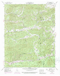
Editions of this 1940 Jones Cove Map
6 editions found
Other maps of this area

1893 · Mt Guyot
USGS Topo · 1:125,000

1912 · Mt Guyot
USGS Topo · 1:125,000

1935 · Newport
USGS Topo · 1:48,000

1935 · Hartford
USGS Topo · 1:24,000

1935 · English Mountain
USGS Topo · 1:48,000

1935 · Clevenger
USGS Topo · 1:24,000

1935 · Jones Cove
USGS Topo · 1:24,000

1935 · Richardson Cove
USGS Topo · 1:24,000
1935 · Shady Grove
USGS Topo · 1:24,000
1936 · Cartertown
USGS Topo · 1:24,000