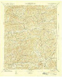
1940 Map of Jones Cove
USGS Topo · Published 1940About this map
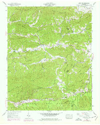
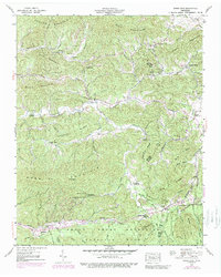
Great Smoky Mountains National Park defines the southern portion of this 1940 survey, where the border of the park meets the high ridges of Webb Mountain. The landscape is a dense network of hollows and gaps, centered on the settlement at Jones Cove. The map reveals a deeply established community of family-named landmarks and small-scale institutions, including the Henry Sch, Juniper Sch, and Sunset Gap Sch. Religious and communal life is anchored by numerous rural congregations such as Bradley Chapel, Holder Grove Ch, and Howard View Ch. Numerous family cemeteries, including Williams Cem and Hurst Cem, are located throughout the valleys, providing a clear picture of local lineage before mid-century changes. The terrain is marked by significant passages like Hurst Gap and Blackgum Gap, which dictated the early travel routes through the English Mountain and Rich Mountain ranges.
Find a feature on this map
75 named features on this map. Tap any name to fly to it.
Don’t see what you’re looking for? This feature index may not catch every label — zoom into the map to look around manually.
Map Details
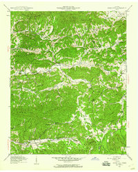
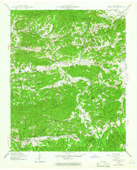
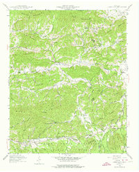
Editions of this 1940 Jones Cove Map
6 editions found
Other maps of this area

1893 · Mt Guyot
USGS Topo · 1:125,000

1912 · Mt Guyot
USGS Topo · 1:125,000

1935 · Newport
USGS Topo · 1:48,000

1935 · Hartford
USGS Topo · 1:24,000

1935 · English Mountain
USGS Topo · 1:48,000

1935 · Clevenger
USGS Topo · 1:24,000

1935 · Jones Cove
USGS Topo · 1:24,000

1935 · Richardson Cove
USGS Topo · 1:24,000
1935 · Shady Grove
USGS Topo · 1:24,000
1936 · Cartertown
USGS Topo · 1:24,000