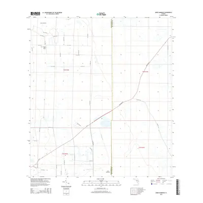
2015 Map of Jones Hammock
USGS Topo · Published 2015About this map
Jones Hammock and Dark Hammock anchor this rural landscape along the boundary between St. Lucie and Okeechobee counties. The area is defined by a grid of agricultural and local roads, such as NE 120th St and NE 101st St, which support the region's citrus industry. Evidence of this specialized economy is clear at the Citrus Hedging Ranch Airport, a private airfield serving the surrounding groves. The natural drainage of the wetlands is traced by the winding path of Nubbin Slough, which cuts across the southern portion of the map. Major transit corridors including Sr-70, Okeechobee Rd, and Bluefield Rd provide the primary connections through this low-lying interior terrain, where the Public Land Survey System sections remain the dominant organizing feature of the land.
Find a feature on this map
27 named features on this map. Tap any name to fly to it.
Don’t see what you’re looking for? This feature index may not catch every label — zoom into the map to look around manually.
Map Details
Editions of this 2015 Jones Hammock Map
This is the sole edition of this map. No revisions or reprints were ever made.
Other maps of this area

1952 · Okeechobee
USGS Topo · 1:24,000

1953 · Okeechobee 1 SE
USGS Topo · 1:24,000

1953 · Okeechobee 4 NE
USGS Topo · 1:24,000

1953 · Okeechobee 4 NW
USGS Topo · 1:24,000

1953 · Okeechobee 1 SW
USGS Topo · 1:24,000

1953 · Taylor Creek SE
USGS Topo · 1:24,000

1953 · Taylor Creek NE
USGS Topo · 1:24,000

1953 · Okeechobee 1 NE
USGS Topo · 1:24,000

1953 · Okeechobee 1 NW
USGS Topo · 1:24,000

1956 · Fort Pierce
USGS Topo · 1:250,000