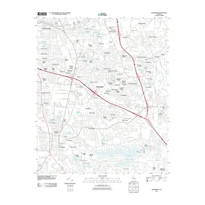
2011 Map of Jonesboro
USGS Topo · Published 2011About this map
Morris Army Airfield and the Atlanta General Depot anchor the northern edge of this suburban landscape south of Atlanta. The area is defined by a dense network of residential subdivisions, including Forest Park, Lake City, and Rex, many of which were established around smaller water bodies like Stephens Lake and Marchman Lake. These reservoirs, often held by structures such as the Stephens Lake Dam, suggest a history of local land management and private development characteristic of the region’s growth.
Find a feature on this map
168 named features on this map. Tap any name to fly to it.
Don’t see what you’re looking for? This feature index may not catch every label — zoom into the map to look around manually.
Map Details
Editions of this 2011 Jonesboro Map
This is the sole edition of this map. No revisions or reprints were ever made.
Other maps of this area

1888 · Atlanta
USGS Topo · 1:125,000

1890 · Atlanta
USGS Topo · 1:125,000

1892 · Atlanta
USGS Topo · 1:125,000

1895 · Atlanta
USGS Topo · 1:125,000

1953 · Atlanta
USGS Topo · 1:250,000

1954 · Conley
USGS Topo · 1:24,000

1954 · Jonesboro
USGS Topo · 1:24,000

1954 · Riverdale
USGS Topo · 1:24,000

1954 · East Point
USGS Topo · 1:24,000

1956 · Redan
USGS Topo · 1:24,000