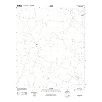
2010 Map of Jonesboro
USGS Topo · Published 2010About this map
Jonesboro sits at the northeast corner of this central Texas landscape, where the Leon River meanders toward the south. The area is defined by a sparse network of ranch roads and farm-to-market routes that connect several small rural communities, including Ireland and Levita. This 2010 survey highlights a region largely dedicated to agriculture and livestock, evidenced by the numerous named creeks and drainages like Mustang Creek, Eagle Creek, and Orman Creek that crisscross the terrain. Family history and local heritage are well-preserved through numerous burial sites throughout the quadrangle, such as Edwards Cemetery, Willy Grubb Cemetery, and Sycamore Cemetery. To the east, the J P Brocksch Dam creates a small reservoir on a tributary of the Leon River, marking one of the few managed water features in this drainage basin.
Find a feature on this map
47 named features on this map. Tap any name to fly to it.
Don’t see what you’re looking for? This feature index may not catch every label — zoom into the map to look around manually.
Map Details
Editions of this 2010 Jonesboro Map
This is the sole edition of this map. No revisions or reprints were ever made.
Other maps of this area

1887 · Lampasas
USGS Topo · 1:125,000

1888 · Hamilton
USGS Topo · 1:125,000

1888 · Meridian
USGS Topo · 1:125,000

1894 · Hamilton
USGS Topo · 1:125,000

1894 · Meridian
USGS Topo · 1:125,000

1894 · Lampasas
USGS Topo · 1:125,000

1894 · Gatesville
USGS Topo · 1:125,000

1947 · Purmela
USGS Topo · 1:62,500

1947 · Gatesville West
USGS Topo · 1:24,000

1947 · Purmela
USGS Topo · 1:24,000