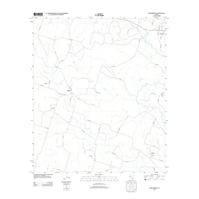
2012 Map of Jonesboro
USGS Topo · Published 2012About this map
The Leon River meanders through this portion of Coryell County, defining the rural landscape between the settlements of Jonesboro and Levita. This area is characterized by its network of creeks and drainage basins, including the branching paths of Mustang Cr, Plum Cr, and Eagle Cr. The topography reveals a history of family-centered burial grounds scattered across the countryside, such as Edwards Cem, Willy Grubb Cem, and Evergreen Cem, which provide significant points of interest for genealogists and local historians. To the west, the village of Ireland sits at a crossroads of farm-to-market and county roads. Significant water features like J P Brocksch Lake and Dry Fork underscore the importance of local water management in this agricultural region of Texas, where the road network follows the undulating terrain between river bottoms and higher ground.
Find a feature on this map
57 named features on this map. Tap any name to fly to it.
Don’t see what you’re looking for? This feature index may not catch every label — zoom into the map to look around manually.
Map Details
Editions of this 2012 Jonesboro Map
This is the sole edition of this map. No revisions or reprints were ever made.
Other maps of this area

1887 · Lampasas
USGS Topo · 1:125,000

1888 · Hamilton
USGS Topo · 1:125,000

1888 · Meridian
USGS Topo · 1:125,000

1894 · Hamilton
USGS Topo · 1:125,000

1894 · Meridian
USGS Topo · 1:125,000

1894 · Lampasas
USGS Topo · 1:125,000

1894 · Gatesville
USGS Topo · 1:125,000

1947 · Purmela
USGS Topo · 1:62,500

1947 · Gatesville West
USGS Topo · 1:24,000

1947 · Purmela
USGS Topo · 1:24,000