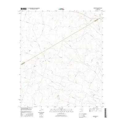
2016 Map of Jonesboro
USGS Topo · Published 2016About this map
The Leon River winds through the northeast corner of this Texas landscape, anchoring a network of drainage systems that include Eagle Cr, Mustang Cr, and Plum Cr. The terrain is defined by the winding border between Hamilton and Coryell counties, which cuts diagonally across the quadrangle. Local family history is preserved in several small burial grounds scattered among the rural roads, such as Edwards Cem near Manning Cr and the Willy Grubb Cem further south.
Find a feature on this map
52 named features on this map. Tap any name to fly to it.
Don’t see what you’re looking for? This feature index may not catch every label — zoom into the map to look around manually.
Map Details
Editions of this 2016 Jonesboro Map
This is the sole edition of this map. No revisions or reprints were ever made.
Other maps of this area

1887 · Lampasas
USGS Topo · 1:125,000

1888 · Hamilton
USGS Topo · 1:125,000

1888 · Meridian
USGS Topo · 1:125,000

1894 · Hamilton
USGS Topo · 1:125,000

1894 · Meridian
USGS Topo · 1:125,000

1894 · Lampasas
USGS Topo · 1:125,000

1894 · Gatesville
USGS Topo · 1:125,000

1947 · Purmela
USGS Topo · 1:62,500

1947 · Gatesville West
USGS Topo · 1:24,000

1947 · Purmela
USGS Topo · 1:24,000