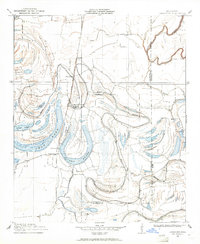
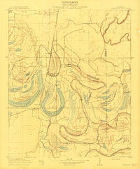
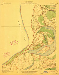
1908 Map of Jonestown
USGS Topo · Published 1961About this map
The Yazoo and Mississippi Valley railroad corridor anchors this 1908 delta landscape, connecting the town of Jonestown with surrounding rural sidings and plantation settlements. Surveyed in cooperation with the Tallahatchie Drainage Commission, the map reveals an intricate network of ancient oxbows and waterways, including the massive Swan Lake and the winding Alcorn Brake. The terrain is defined by its complex hydrology, where the Coldwater River and various bayous like Moore Bayou and Broad Bayou dictate the placement of roads and homesteads.
Find a feature on this map
23 named features on this map. Tap any name to fly to it.
Don’t see what you’re looking for? This feature index may not catch every label — zoom into the map to look around manually.
Map Details
Editions of this 1908 Jonestown Map
This is the sole edition of this map. No revisions or reprints were ever made.
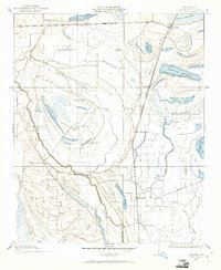
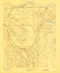
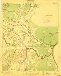
Other maps of this area

1908 · Lula
USGS Topo · 1:24,000
1908 · Coahoma
USGS Topo · 1:24,000

1908 · Moon Lake
USGS Topo · 1:24,000
1910 · Coahoma
USGS Topo · 1:31,680
1910 · Jonestown
USGS Topo · 1:31,680
1912 · Moon Lake
USGS Topo · 1:31,680
1912 · Lula
USGS Topo · 1:31,680
1932 · Tutwiler
USGS Topo · 1:48,000
1932 · Marks
USGS Topo · 1:48,000

1935 · Clarksdale
USGS Topo · 1:62,500