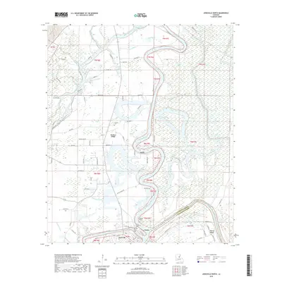
2018 Map of Jonesville North
USGS Topo · Published 2018About this map
The confluence of the Ouachita River, Tensas River, and Little River at Tensas Point forms a complex hydrographic center for this region of Catahoula Parish. The settlement of Jonesville sits at this strategic watery junction, neighbored by the historic community of Trinity, where both the Trinity Cem and Trinity Community Cem are located. The landscape is defined by the winding river bends and numerous oxbow features and brakes, such as Halfmile Lake and Brickyard Lake, illustrating a terrain shaped by centuries of alluvial shifts. Moving north along the river's eastern bank, smaller settlements like Quaid and Wallace Ridge emerge amidst a network of bayous including Bushley Bayou and Haha Bayou. This 2018 survey detail provides a modern record of the persistent local road networks and land divisions that have structured life along these Louisiana waterways for generations.
Find a feature on this map
89 named features on this map. Tap any name to fly to it.
Don’t see what you’re looking for? This feature index may not catch every label — zoom into the map to look around manually.
Map Details
Editions of this 2018 Jonesville North Map
This is the sole edition of this map. No revisions or reprints were ever made.
Other maps of this area

1939 · Red Gum
USGS Topo · 1:62,500

1941 · Manifest
USGS Topo · 1:62,500

1941 · Sicily Island
USGS Topo · 1:62,500

1941 · Harrisonburg
USGS Topo · 1:62,500

1953 · Natchez
USGS Topo · 1:250,000

1956 · Natchez
USGS Topo · 1:250,000

1957 · Sicily Island
USGS Topo · 1:62,500

1959 · Natchez
USGS Topo · 1:250,000

1959 · Harrisonburg
USGS Topo · 1:62,500

1960 · Jonesville
USGS Topo · 1:62,500