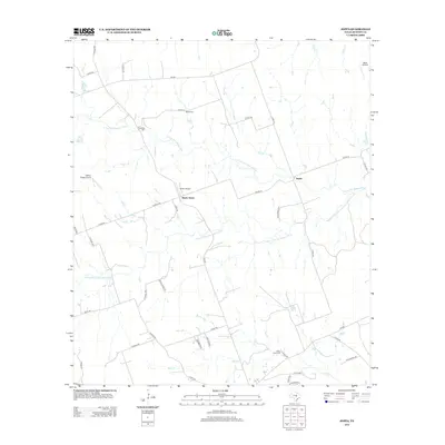
2012 Map of Joppa
USGS Topo · Published 2012About this map
Joppa and Blacks Fort anchor this Central Texas landscape where the water network of the N Fork San Gabriel River and Russell Fork San Gabriel River defines the local geography. The map reveals a rural structure of ranch estates and county roads, reflecting a late-twentieth-century transition toward residential clusters like Ater Ranch Est and Misty Wood while maintaining deep historical roots. Genealogy interests are supported by the inclusion of Strickling Cem and Bear Creek Cem, which sit near the winding banks of Bear Cr. Aviation marks the modern era of the territory, with several private landing strips such as Flattop Ridge Airport and Skotz Airfield scattered across the northern and eastern sections of the quadrangle.
Find a feature on this map
42 named features on this map. Tap any name to fly to it.
Don’t see what you’re looking for? This feature index may not catch every label — zoom into the map to look around manually.
Map Details
Editions of this 2012 Joppa Map
This is the sole edition of this map. No revisions or reprints were ever made.
Other maps of this area

1887 · Burnet
USGS Topo · 1:125,000

1893 · Georgetown
USGS Topo · 1:125,000

1893 · Burnet
USGS Topo · 1:125,000

1903 · Burnet
USGS Topo · 1:125,000

1909 · Burnet
USGS Topo · 1:125,000

1932 · Bertram
USGS Topo · 1:62,500

1954 · Llano
USGS Topo · 1:250,000

1954 · Austin
USGS Topo · 1:250,000

1955 · Llano
USGS Topo · 1:250,000

1956 · Llano
USGS Topo · 1:250,000