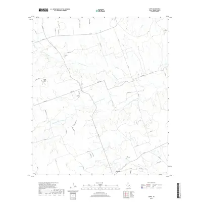
2019 Map of Joppa
USGS Topo · Published 2019About this map
Bertram anchors the southern portion of this Hill Country landscape, where the rural character of Burnet County is defined by a network of ranch roads and limestone-bedded waterways. The terrain is deeply etched by the drainage systems of the N Fork San Gabriel River and the Russell Fork San Gabriel River, which converge amidst a series of prominent draws like Stone Quarry Hollow and Postoak Hollow. Genealogists will find several well-preserved historical sites, including Strickling Cem, Shady Grove Cem, and Bear Creek Cem, situated along the winding secondary roads that crisscross the forks of the river. Aviation is a notable presence in this rural expanse, marked by small private landing strips such as Flattop Ridge Airport, Griffin Airport, and Skotz Airfield, reflecting the area's transition towards modern rural estates like Ater Ranch Est.
Find a feature on this map
48 named features on this map. Tap any name to fly to it.
Don’t see what you’re looking for? This feature index may not catch every label — zoom into the map to look around manually.
Map Details
Editions of this 2019 Joppa Map
This is the sole edition of this map. No revisions or reprints were ever made.
Other maps of this area

1887 · Burnet
USGS Topo · 1:125,000

1893 · Georgetown
USGS Topo · 1:125,000

1893 · Burnet
USGS Topo · 1:125,000

1903 · Burnet
USGS Topo · 1:125,000

1909 · Burnet
USGS Topo · 1:125,000

1932 · Bertram
USGS Topo · 1:62,500

1954 · Llano
USGS Topo · 1:250,000

1954 · Austin
USGS Topo · 1:250,000

1955 · Llano
USGS Topo · 1:250,000

1956 · Llano
USGS Topo · 1:250,000