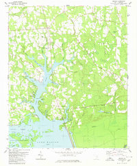
1980 Map of Jordan
USGS Topo · Published 1980About this map
Jordan stands at the northern edge of this landscape, where the agricultural uplands transition into the complex waterways of the Santee basin. The 1980 survey reveals a community anchored by local congregations, including Jordan Ch, Union Ch, and Cypress Ch, alongside the specialized aviation facilities of the Clarendon County Airport. To the south, the terrain descends into the vast wetland systems of the Wyboo Swamp and the northern reaches of Lake Marion. This environment is shaped by an intricate network of drainage, where Three Hole Swamp and Deep Creek feed into the lake's fingers. The presence of the Santee National Wildlife Refuge and an Old RR Grade reflects the area's dual character of conservation and former rail-based transport. Lakeside developments like Camp Cooper and Tranquility Cove illustrate the recreational evolution of the shoreline during the late twentieth century.
Find a feature on this map
52 named features on this map. Tap any name to fly to it.
Don’t see what you’re looking for? This feature index may not catch every label — zoom into the map to look around manually.
Map Details
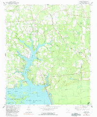
Editions of this 1980 Jordan Map
2 editions found
Other maps of this area

1920 · Eutawville
USGS Topo · 1:48,000

1920 · Chicora
USGS Topo · 1:48,000

1920 · Manning
USGS Topo · 1:48,000

1921 · Chicora
USGS Topo · 1:62,500

1921 · Manning
USGS Topo · 1:62,500

1921 · Eutawville
USGS Topo · 1:62,500

1943 · Chicora
USGS Topo · 1:62,500

1943 · Eutawville
USGS Topo · 1:62,500

1944 · Manning
USGS Topo · 1:62,500

1954 · Augusta
USGS Topo · 1:250,000