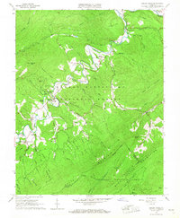
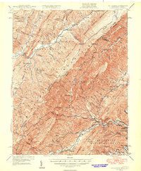
1966 Map of Jordan Mines
USGS Topo · Published 1967About this map
Potts Creek defines the rugged heart of this Virginia landscape, winding through a valley constrained by the massive slopes of Peters Mountain and Potts Mountain. The 1960s terrain is marked by a deep-rooted religious and industrial history, evidenced by a cluster of rural sanctuaries such as Persinger Memorial Chapel, Lone Star Ch, and Pinnell Chapel. The influence of early transportation and mineral extraction is visible in the presence of an Old Grade RR and several unnamed mines near the settlement of Jordan Mines.
Find a feature on this map
61 named features on this map. Tap any name to fly to it.
Don’t see what you’re looking for? This feature index may not catch every label — zoom into the map to look around manually.
Map Details
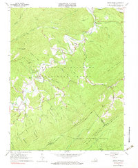
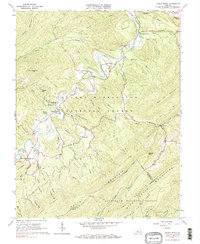
Editions of this 1966 Jordan Mines Map
3 editions found
Other maps of this area

1887 · Lewisburg
USGS Topo · 1:125,000

1891 · Lewisburg
USGS Topo · 1:125,000

1894 · Natural Bridge
USGS Topo · 1:125,000

1913 · Eagle Rock
USGS Topo · 1:48,000

1915 · Eagle Rock
USGS Topo · 1:62,500

1921 · Callaghan
USGS Topo · 1:48,000

1923 · Callaghan
USGS Topo · 1:62,500

1945 · Clifton Forge
USGS Topo · 1:62,500
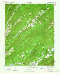
1945 · New Castle
USGS Topo · 1:62,500
1946 · Callaghan
USGS Topo · 1:62,500