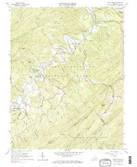
1966 Map of Jordan Mines
USGS Topo · Published 1983About this map
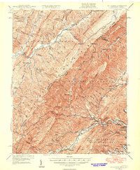
Potts Creek carves a deep valley through the rugged heart of the George Washington National Forest and Jefferson National Forest, anchoring a landscape defined by isolated settlements and a legacy of mountain industry. In the mid-1960s, the village of Jordan Mines remained a central point in this mountain corridor, while the southern settlement of Lignite points to the region's mineral heritage. The map documents an intricate network of local spirituality, featuring numerous remote houses of worship such as Wet Grounds Ch, Highland Chapel, and Perkinger Memorial Chapel. Topographical features like Moores Bottom and the curious geological formation at The Sinks highlight the varied terrain where high ridges like Peters Mountain and Rich Patch Mountain flank narrow creek bottoms. An Old RR Grade and several Jeep Trails suggest a history of extraction and timbering that once connected these hollows.
Find a feature on this map
69 named features on this map. Tap any name to fly to it.
Don’t see what you’re looking for? This feature index may not catch every label — zoom into the map to look around manually.
Map Details
Editions of this 1966 Jordan Mines Map
3 editions found
Other maps of this area

1887 · Lewisburg
USGS Topo · 1:125,000

1891 · Lewisburg
USGS Topo · 1:125,000

1894 · Natural Bridge
USGS Topo · 1:125,000

1913 · Eagle Rock
USGS Topo · 1:48,000

1915 · Eagle Rock
USGS Topo · 1:62,500

1921 · Callaghan
USGS Topo · 1:48,000

1923 · Callaghan
USGS Topo · 1:62,500

1945 · Clifton Forge
USGS Topo · 1:62,500
1945 · New Castle
USGS Topo · 1:62,500
1946 · Callaghan
USGS Topo · 1:62,500