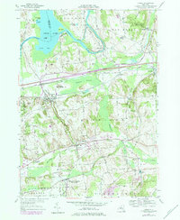
1978 Map of Jordan
USGS Topo · Published 1984About this map
The Seneca River and the historical path of the Erie Canal define this central New York landscape, winding through the townships of Elbridge and Lysander. In the village of Jordan, the intersection of transport history is visible where the Old Conrail Railroad Grade and the New York State Thruway cross the terrain. Significant local heritage is preserved in the detailed mapping of the Skaneateles Junction (Hart Lot PO) and the smaller hamlets of Memphis, Peru, and Jacks Reef. The map reveals a land shaped by both industrial transit and agriculture, with numerous family-named landmarks like Daboll Corners and Ashbys Pinnacle scattered across the drumlin topography. Genealogists can find several burial sites, including Elbridge Rural Cem and Mount Pleasant Cem, alongside local institutions like the Halfway Sch and the Fish Hatchery near the southern boundary.
Find a feature on this map
60 named features on this map. Tap any name to fly to it.
Don’t see what you’re looking for? This feature index may not catch every label — zoom into the map to look around manually.
Map Details
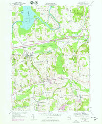
Editions of this 1978 Jordan Map
2 editions found
Other maps of this area

1899 · Auburn
USGS Topo · 1:62,500

1899 · Skaneateles
USGS Topo · 1:62,500

1900 · Baldwinsville
USGS Topo · 1:62,500

1902 · Skaneateles
USGS Topo · 1:62,500

1902 · Weedsport
USGS Topo · 1:62,500

1902 · Auburn
USGS Topo · 1:62,500

1943 · Jordan
USGS Topo · 1:31,680

1943 · Lysander
USGS Topo · 1:31,680

1943 · Cato
USGS Topo · 1:31,680

1943 · Weedsport
USGS Topo · 1:31,680