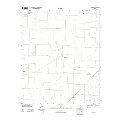
2010 Map of Josephine
USGS Topo · Published 2010About this map
The settlement of Josephine serves as a central hub in this landscape, where the agricultural plains meet a network of creek systems. The terrain is defined by the headwaters of Sabine Creek, Bois d'Arc Creek, and Brushy Creek, which carve gentle paths through the countryside. Evidence of local water management is clear at the Soil Conservation Service Site 85a Dam and its neighbor, Site 85b, reflecting the area's focus on conservation and land use. Local history is anchored by family and community landmarks such as McMinn Cemetery, Josephine Cemetery, and the appropriately named Needmore Cemetery near Burrow. Smaller communities like Nevada and Pleasant Valley are linked by a grid of county roads and highway corridors, illustrating the enduring rural character and steady growth of these North Texas townships.
Find a feature on this map
89 named features on this map. Tap any name to fly to it.
Don’t see what you’re looking for? This feature index may not catch every label — zoom into the map to look around manually.
Map Details
Editions of this 2010 Josephine Map
This is the sole edition of this map. No revisions or reprints were ever made.
Other maps of this area

1912 · Rockwall
USGS Topo · 1:31,680

1919 · Royse City
USGS Topo · 1:62,500

1924 · Farmersville 3-c
USGS Topo · 1:48,000

1930 · Farmersville
USGS Topo · 1:62,500

1954 · Dallas
USGS Topo · 1:250,000

1954 · Sherman
USGS Topo · 1:250,000

1956 · Quinlan
USGS Topo · 1:62,500

1958 · Dallas
USGS Topo · 1:250,000

1958 · Sherman
USGS Topo · 1:250,000

1960 · Culleoka
USGS Topo · 1:24,000