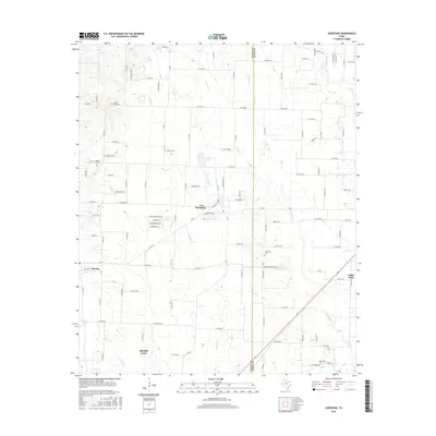
2016 Map of Josephine
USGS Topo · Published 2016About this map
Josephine and Nevada anchor the western portion of this 2016 survey, where the expanding suburban landscape of North Texas meets established rural farmland. The terrain is defined by a dense network of watercourses, including the south-flowing Sabine Cr, Couskin Cr, and Brushy Cr, which drain into the wider East Texas river basins. For genealogists and local historians, several burial grounds are preserved across the quadrangle, such as Prairie Grove Cem and McMinn Cem to the northwest, and Needmore Cem near the southern boundary. The map illustrates the contemporary transition of the region, featuring newer residential developments like Rolling Meadow Ln alongside large-scale operations such as Lonesome Dove Ranch. This intersection of traditional ranching and modern residential growth is particularly evident near the northern edges of Royse City and the approach to Caddo Mills at the eastern edge of the survey.
Find a feature on this map
131 named features on this map. Tap any name to fly to it.
Don’t see what you’re looking for? This feature index may not catch every label — zoom into the map to look around manually.
Map Details
Editions of this 2016 Josephine Map
This is the sole edition of this map. No revisions or reprints were ever made.
Other maps of this area

1912 · Rockwall
USGS Topo · 1:31,680

1919 · Royse City
USGS Topo · 1:62,500

1924 · Farmersville 3-c
USGS Topo · 1:48,000

1930 · Farmersville
USGS Topo · 1:62,500

1954 · Dallas
USGS Topo · 1:250,000

1954 · Sherman
USGS Topo · 1:250,000

1956 · Quinlan
USGS Topo · 1:62,500

1958 · Dallas
USGS Topo · 1:250,000

1958 · Sherman
USGS Topo · 1:250,000

1960 · Culleoka
USGS Topo · 1:24,000