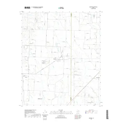
2019 Map of Josephine
USGS Topo · Published 2019About this map
The town of Josephine sits at the intersection of rural development and agricultural tradition on this survey along the border of Collin Co and Hunt Co. This landscape is defined by the winding paths of Sabine Cr and Brushy Cr, which feed into local landmarks like Cooks Lake. The map details several communities including Nevada, Caddo Mills, and the northern reaches of Royse City, showing a dense network of county roads that replaced earlier pioneer trails. Genealogists will find significant value in the documentation of several local burial grounds, such as Prairie Grove Cem, McMinn Cem, Josephine Cem, and Needmore Cem. The presence of the Lonesome Dove Ranch and various farm-to-market roads like FM 547 illustrates the transition of this North Texas corridor from isolated farmsteads into a more connected suburban-rural hybrid.
Find a feature on this map
139 named features on this map. Tap any name to fly to it.
Don’t see what you’re looking for? This feature index may not catch every label — zoom into the map to look around manually.
Map Details
Editions of this 2019 Josephine Map
This is the sole edition of this map. No revisions or reprints were ever made.
Other maps of this area

1912 · Rockwall
USGS Topo · 1:31,680

1919 · Royse City
USGS Topo · 1:62,500

1924 · Farmersville 3-c
USGS Topo · 1:48,000

1930 · Farmersville
USGS Topo · 1:62,500

1954 · Dallas
USGS Topo · 1:250,000

1954 · Sherman
USGS Topo · 1:250,000

1956 · Quinlan
USGS Topo · 1:62,500

1958 · Dallas
USGS Topo · 1:250,000

1958 · Sherman
USGS Topo · 1:250,000

1960 · Culleoka
USGS Topo · 1:24,000