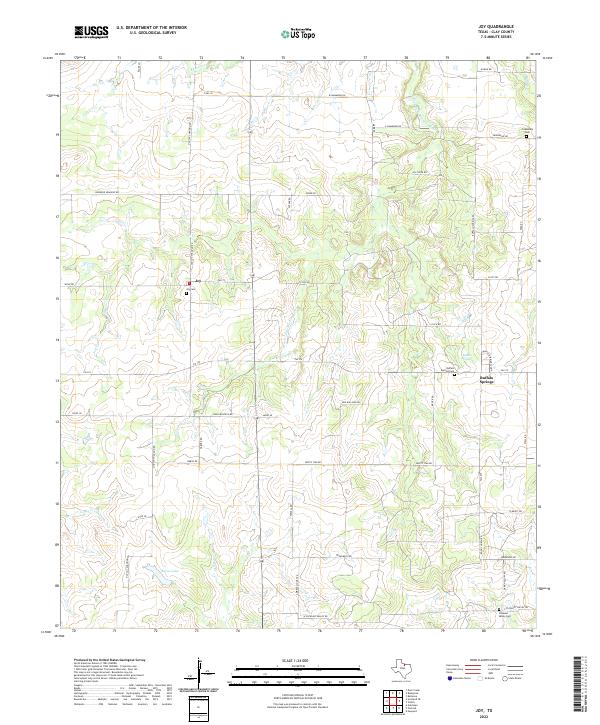
2022 Map of Joy
USGS Topo · Published 2022About this map
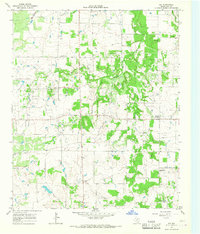
Joy and Buffalo Springs anchor this portion of southern Clay County, where the Texas landscape is shaped by the winding courses of the E Fork Little Wichita River and its various tributaries. The region's agricultural and rural character is defined by a dense network of family-named roads, such as Edd Williams Rd and Raymond Edwards Rd, which connect scattered homesteads to local landmarks. Genealogy and local history are preserved in several distinct burial grounds including Joy Cem, Buffalo Springs Cem, and the remote Pleasant Valley Cem near the southern border. The presence of Burns Lake and various creeks like Joy Cr and Turkey Cr illustrates the importance of water management in this rolling terrain. This survey provides a clear look at the persistent rural layout of the area, showing how contemporary Farm to Market roads like FM 174 follow historic movement patterns between these small settlements.
Find a feature on this map
53 named features on this map. Tap any name to fly to it.
Don’t see what you’re looking for? This feature index may not catch every label — zoom into the map to look around manually.
Map Details
Editions of this 2022 Joy Map
This is the sole edition of this map. No revisions or reprints were ever made.
Other maps of this area

1954 · Wichita Falls
USGS Topo · 1:250,000

1958 · Wichita Falls
USGS Topo · 1:250,000

1962 · Antelope Creek NE
USGS Topo · 1:24,000

1963 · Deer Creek
USGS Topo · 1:24,000
1963 · Vashti
USGS Topo · 1:24,000
1964 · Newport
USGS Topo · 1:24,000

1964 · Antelope
USGS Topo · 1:24,000

1964 · Scotland SE
USGS Topo · 1:24,000
1964 · Postoak
USGS Topo · 1:24,000
1964 · Joy
USGS Topo · 1:24,000