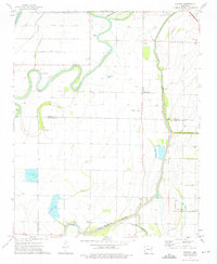
1974 Map of Joyland
USGS Topo · Published 1976About this map
The St Francis River and Tyronza River define the intricate drainage patterns of this Delta landscape along the border of Poinsett and Crittenden counties. In the mid-1970s, the region was characterized by an extensive network of man-made waterways like Ditch No 41 and Ditch No 61, which supported the intensive agricultural use of the fertile bottomlands. Small rural settlements and gathering points such as Joyland, Black Oak, and Galilee are scattered across the terrain, often anchored by local landmarks like New Hope Ch or Mt Olive. The presence of several Fish Farm operations and numerous landing strips reflects a specialized rural economy reliant on both the water and aerial access for crop management. Local history is preserved in the location of several small burial grounds, including Tyronza Cem and King Solomon Cem, which sit near the winding banks of the Tyronza R and its associated Cutoff.
Find a feature on this map
38 named features on this map. Tap any name to fly to it.
Don’t see what you’re looking for? This feature index may not catch every label — zoom into the map to look around manually.
Map Details
Editions of this 1974 Joyland Map
2 editions found
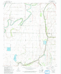
Other maps of this area

1940 · Deckerville
USGS Topo · 1:62,500

1940 · Princedale
USGS Topo · 1:62,500

1940 · Dee
USGS Topo · 1:62,500

1941 · Marked Tree
USGS Topo · 1:62,500

1953 · Memphis
USGS Topo · 1:250,000

1956 · Marked Tree
USGS Topo · 1:62,500

1956 · Memphis
USGS Topo · 1:250,000

1956 · Princedale
USGS Topo · 1:62,500

1957 · Deckerville
USGS Topo · 1:62,500

1958 · Dee
USGS Topo · 1:62,500