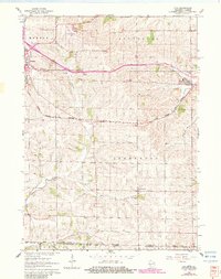
1962 Map of Juda
USGS Topo · Published 1983About this map
Agricultural lands and rural schoolhouses define this 1960s landscape along the Wisconsin Illinois state line. The Chicago Madison and Northern railroad cuts through the terrain, serving the village of Juda and the outskirts of Monroe. This survey preserves the locations of numerous country schools that served the local farming communities, such as Richland Sch, Ball Sch, and Fairfield Sch, many of which were central to rural life before consolidation.
Find a feature on this map
30 named features on this map. Tap any name to fly to it.
Don’t see what you’re looking for? This feature index may not catch every label — zoom into the map to look around manually.
Map Details
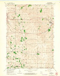
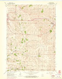
Editions of this 1962 Juda Map
3 editions found
Other maps of this area

1893 · Brodhead
USGS Topo · 1:62,500

1920 · Monroe
USGS Topo · 1:62,500

1922 · Monroe
USGS Topo · 1:62,500

1932 · Pecatonica
USGS Topo · 1:62,500

1936 · Pecatonica
USGS Topo · 1:62,500

1939 · Freeport
USGS Topo · 1:48,000

1944 · Freeport
USGS Topo · 1:62,500

1954 · Rockford
USGS Topo · 1:250,000

1955 · Rockford
USGS Topo · 1:250,000

1958 · Rockford
USGS Topo · 1:250,000