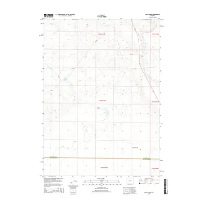
2015 Map of Juel Spring
USGS Topo · Published 2015About this map
The Big Sandy River winds through this high desert landscape, serving as a primary water source in a region defined by its wide, open drainage basins. In this 2015 snapshot, the boundary between Sublette County and Sweetwater County cuts horizontally across the terrain, illustrating the administrative divisions of this sparse Wyoming interior. Water management and livestock history are evident in features like Juel Reservoir and North Sublette Meadow Spring, which provide critical points of relief in an otherwise arid environment. The map also records a network of Bureau of Land Management routes, such as BLM-4207, which traverse the flats and gulches, reflecting the ongoing use of public lands for resource management and grazing. Landforms like Sublettes Flat and Jonah Gulch provide the topographical context for a region where water and land rights have long been the cornerstones of settlement and survival.
Find a feature on this map
15 named features on this map. Tap any name to fly to it.
Don’t see what you’re looking for? This feature index may not catch every label — zoom into the map to look around manually.
Map Details
Editions of this 2015 Juel Spring Map
This is the sole edition of this map. No revisions or reprints were ever made.
Other maps of this area

1955 · Lander
USGS Topo · 1:250,000

1958 · Lander
USGS Topo · 1:250,000

1961 · Lander
USGS Topo · 1:250,000

1968 · Twelvemile Knoll
USGS Topo · 1:24,000
1968 · Eden Reservoir West
USGS Topo · 1:24,000
1968 · Fourmile Knoll
USGS Topo · 1:24,000
1969 · Juel Spring
USGS Topo · 1:24,000
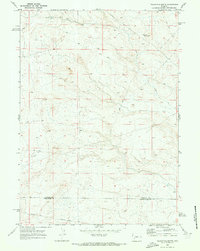
1969 · Teakettle Butte
USGS Topo · 1:24,000
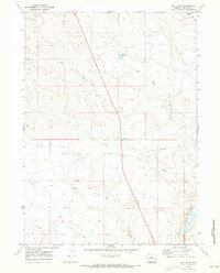
1969 · Bull Draw
USGS Topo · 1:24,000

1969 · Tabernacle Butte
USGS Topo · 1:24,000