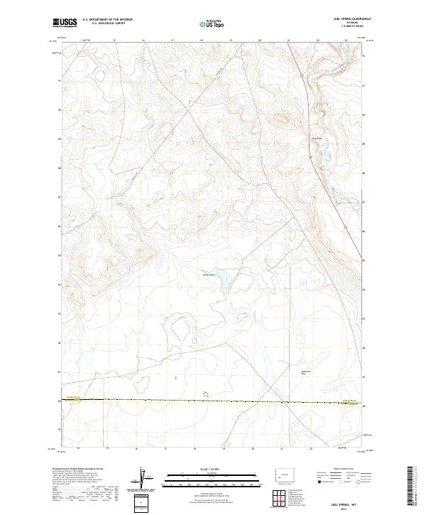
2021 Map of Juel Spring
USGS Topo · Published 2021About this map
The Big Sandy River defines the eastern edge of this Wyoming landscape, carving through the high plains at the boundary of Sublette and Sweetwater counties. This 2021 survey illustrates a region shaped by natural water sources and remote access routes, where Juel Spring and North Sublette Meadow Spring provide critical points of interest in an otherwise arid expanse. The terrain is characterized by broad drainage patterns and basins, most notably Sublettes Flat in the southeast and the winding Long Draw further north.
Find a feature on this map
15 named features on this map. Tap any name to fly to it.
Don’t see what you’re looking for? This feature index may not catch every label — zoom into the map to look around manually.
Map Details
Editions of this 2021 Juel Spring Map
This is the sole edition of this map. No revisions or reprints were ever made.
Other maps of this area

1955 · Lander
USGS Topo · 1:250,000

1958 · Lander
USGS Topo · 1:250,000

1961 · Lander
USGS Topo · 1:250,000

1968 · Twelvemile Knoll
USGS Topo · 1:24,000
1968 · Eden Reservoir West
USGS Topo · 1:24,000
1968 · Fourmile Knoll
USGS Topo · 1:24,000
1969 · Juel Spring
USGS Topo · 1:24,000
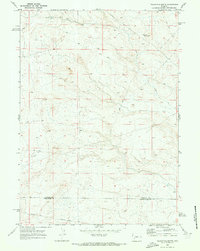
1969 · Teakettle Butte
USGS Topo · 1:24,000
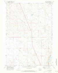
1969 · Bull Draw
USGS Topo · 1:24,000

1969 · Tabernacle Butte
USGS Topo · 1:24,000