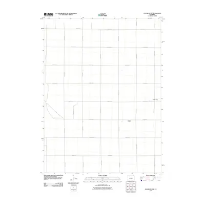
2010 Map of Julesburg SW
USGS Topo · Published 2010About this map
Woodham Cemetery serves as a primary historical marker in this agricultural landscape of Sedgwick County. The terrain is defined by the ephemeral passage of Sand Creek and the natural depression of Sand Draw, which cut across the otherwise orderly grid of the High Plains. This 2010 survey illustrates a quintessential Western land-use pattern where the section-line road system, including County Rd-18 and County Rd-6, dictates the movement and settlement of the region. The sparse distribution of named features highlights the open, rural character of this part of northeastern Colorado, where long-established family burial grounds and seasonal watercourses provide the only interruption to the vast geometry of the county road network.
Find a feature on this map
21 named features on this map. Tap any name to fly to it.
Don’t see what you’re looking for? This feature index may not catch every label — zoom into the map to look around manually.
Map Details
Editions of this 2010 Julesburg SW Map
This is the sole edition of this map. No revisions or reprints were ever made.
Other maps of this area

1952 · Julesburg SW
USGS Topo · 1:24,000

1952 · Julesburg SE
USGS Topo · 1:24,000

1952 · Marks Butte
USGS Topo · 1:24,000

1953 · Ovid
USGS Topo · 1:24,000

1953 · Julesburg
USGS Topo · 1:24,000

1953 · Sedgwick
USGS Topo · 1:24,000

1954 · Sterling
USGS Topo · 1:250,000

1958 · Sterling
USGS Topo · 1:250,000

1962 · Holyoke NE
USGS Topo · 1:24,000

1962 · Haxtun East
USGS Topo · 1:24,000