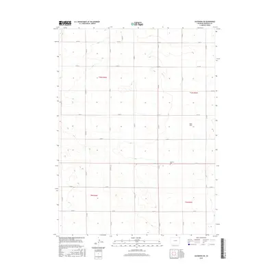
2016 Map of Julesburg SW
USGS Topo · Published 2016About this map
Woodham Cem serves as a small anchor point within this high plains agricultural landscape of eastern Sedgwick County. The terrain is characterized by the broad depressions of Sand Draw and the seasonal path of Sand Cr, which cut through the gridded section lines of the Public Land Survey System. The area is defined by a dense network of county roads, including Co RD 18 and Co RD 4, reflecting the organized land division typical of the Colorado plains. This 2016 survey captures a purely rural environment where township boundaries like t10n r46w and t9n r45w meet, maintaining the historic spatial layout of the region's farming and ranching legacy.
Find a feature on this map
23 named features on this map. Tap any name to fly to it.
Don’t see what you’re looking for? This feature index may not catch every label — zoom into the map to look around manually.
Map Details
Editions of this 2016 Julesburg SW Map
This is the sole edition of this map. No revisions or reprints were ever made.
Other maps of this area

1952 · Julesburg SW
USGS Topo · 1:24,000

1952 · Julesburg SE
USGS Topo · 1:24,000

1952 · Marks Butte
USGS Topo · 1:24,000

1953 · Ovid
USGS Topo · 1:24,000

1953 · Julesburg
USGS Topo · 1:24,000

1953 · Sedgwick
USGS Topo · 1:24,000

1954 · Sterling
USGS Topo · 1:250,000

1958 · Sterling
USGS Topo · 1:250,000

1962 · Holyoke NE
USGS Topo · 1:24,000

1962 · Haxtun East
USGS Topo · 1:24,000