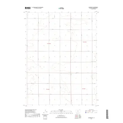
2019 Map of Julesburg SW
USGS Topo · Published 2019About this map
Woodham Cem stands as a primary landmark in this section of Sedgwick County, where the high plains are carved by seasonal watercourses like Sand Cr and Sand Draw. The landscape is defined by the rigid geometry of the Public Land Survey System, with an extensive network of section-line roads such as Co Rd 10 and Co Rd 25 providing access across the expansive ranching and farming terrain. This survey reflects the enduring rural character of northeast Colorado, showing a region where historical land divisions remain the dominant structural element of the topography. Genealogists and local historians can trace the intersection of established township boundaries like t10n r46w and t9n r45w against these modern arterial roads.
Find a feature on this map
22 named features on this map. Tap any name to fly to it.
Don’t see what you’re looking for? This feature index may not catch every label — zoom into the map to look around manually.
Map Details
Editions of this 2019 Julesburg SW Map
This is the sole edition of this map. No revisions or reprints were ever made.
Other maps of this area

1952 · Julesburg SW
USGS Topo · 1:24,000

1952 · Julesburg SE
USGS Topo · 1:24,000

1952 · Marks Butte
USGS Topo · 1:24,000

1953 · Ovid
USGS Topo · 1:24,000

1953 · Julesburg
USGS Topo · 1:24,000

1953 · Sedgwick
USGS Topo · 1:24,000

1954 · Sterling
USGS Topo · 1:250,000

1958 · Sterling
USGS Topo · 1:250,000

1962 · Holyoke NE
USGS Topo · 1:24,000

1962 · Haxtun East
USGS Topo · 1:24,000