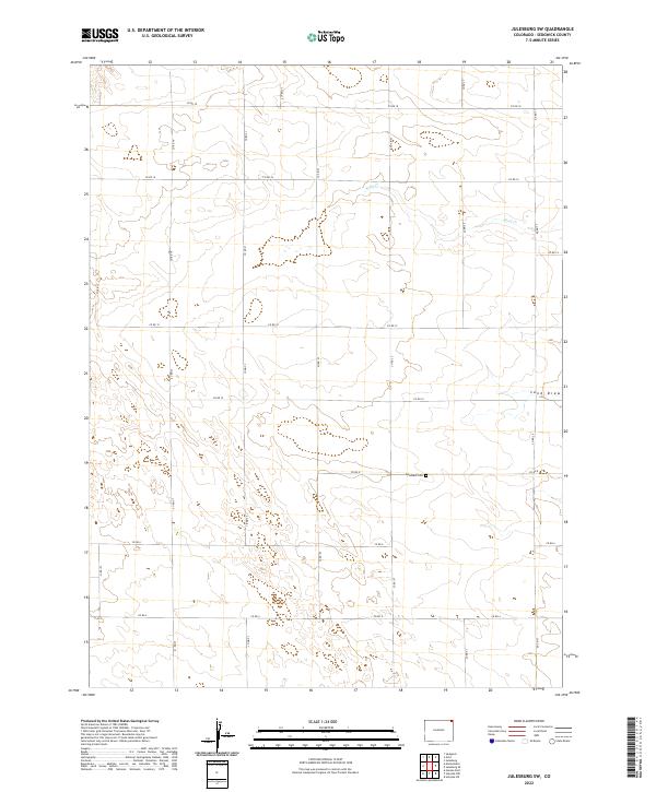
2022 Map of Julesburg SW
USGS Topo · Published 2022About this map
Woodham Cem serves as a lone cultural landmark within this expansive grid of section lines and gravel roads in Sedgwick County. The landscape is defined by its intermittent drainage systems, notably the shifting course of Sand Cr and the topographical depression known as Sand Draw. These natural features disrupt the otherwise orderly agricultural layout designated by the Public Land Survey System across townships T9N R45W and T10N R46W. The infrastructure is characterized by a high-density network of county routes, including Co RD 17, Co RD 21, and Co RD 18, which delineate the high plains territory. This 2022 survey provides a precise accounting of the contemporary rural structure, where the intersection of hydrology and human-imposed boundaries remains the primary organizational force.
Find a feature on this map
23 named features on this map. Tap any name to fly to it.
Don’t see what you’re looking for? This feature index may not catch every label — zoom into the map to look around manually.
Map Details
Editions of this 2022 Julesburg SW Map
This is the sole edition of this map. No revisions or reprints were ever made.
Other maps of this area

1952 · Julesburg SW
USGS Topo · 1:24,000

1952 · Julesburg SE
USGS Topo · 1:24,000

1952 · Marks Butte
USGS Topo · 1:24,000

1953 · Ovid
USGS Topo · 1:24,000

1953 · Julesburg
USGS Topo · 1:24,000

1953 · Sedgwick
USGS Topo · 1:24,000

1954 · Sterling
USGS Topo · 1:250,000

1958 · Sterling
USGS Topo · 1:250,000

1962 · Holyoke NE
USGS Topo · 1:24,000

1962 · Haxtun East
USGS Topo · 1:24,000