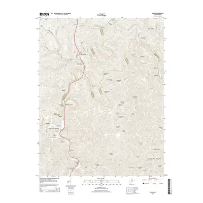
2014 Map of Julian
USGS Topo · Published 2014About this map
The Little Coal River and Big Coal River anchor a complex landscape of narrow valleys and winding ridges at the intersection of Kanawha, Lincoln, and Boone counties. Transportation infrastructure defines the area's development, evidenced by the Blue Tom Tunnel, Pinnacle Tunnel, and multiple crossings such as the Little Coal River Bridge and Pinnacle Rock Bridge. These structures allowed roads and rails to navigate the steep topography between settlements like McCorkle, Julian, and Emmons.
Find a feature on this map
119 named features on this map. Tap any name to fly to it.
Don’t see what you’re looking for? This feature index may not catch every label — zoom into the map to look around manually.
Map Details
Editions of this 2014 Julian Map
This is the sole edition of this map. No revisions or reprints were ever made.
Other maps of this area

1899 · Charleston
USGS Topo · 1:125,000

1909 · Charleston
USGS Topo · 1:62,500

1909 · Peytona
USGS Topo · 1:48,000

1909 · Saint Albans
USGS Topo · 1:62,500

1911 · Peytona
USGS Topo · 1:62,500

1911 · Madison
USGS Topo · 1:62,500

1929 · Madison
USGS Topo · 1:62,500

1929 · Peytona
USGS Topo · 1:62,500

1931 · Madison
USGS Topo · 1:62,500

1931 · Saint Albans
USGS Topo · 1:62,500