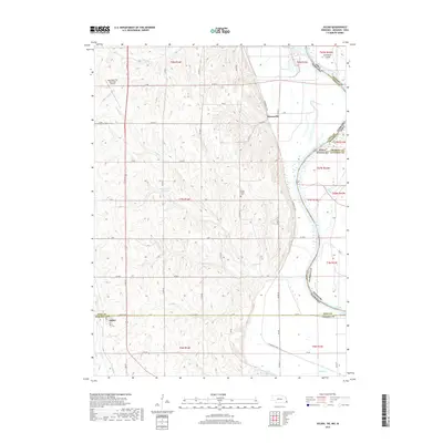
2017 Map of Julian
USGS Topo · Published 2017About this map
The Missouri River serves as a shifting boundary between Nebraska, Iowa, and Missouri, anchoring this 2017 survey of the borderlands. The small settlement of Julian is positioned at the intersection of Julian Rd and 64 in the southwest, while the community of Minersville sits further north along the bluffs. These towns are connected by a network of county roads and the Steamboat Trce, a trail that follows the river's eastern curve.
Find a feature on this map
62 named features on this map. Tap any name to fly to it.
Don’t see what you’re looking for? This feature index may not catch every label — zoom into the map to look around manually.
Map Details
Editions of this 2017 Julian Map
This is the sole edition of this map. No revisions or reprints were ever made.
Other maps of this area

1907 · Nebraska City
USGS Topo · 1:62,500

1915 · Nemaha
USGS Topo · 1:62,500

1915 · Howe
USGS Topo · 1:62,500

1939 · Hamburg
USGS Topo · 1:62,500

1939 · Nemaha
USGS Topo · 1:62,500

1941 · Hamburg
USGS Topo · 1:62,500

1949 · Nemaha
USGS Topo · 1:62,500

1955 · Nebraska City
USGS Topo · 1:250,000

1957 · Nebraska City
USGS Topo · 1:250,000

1958 · Nebraska City
USGS Topo · 1:250,000