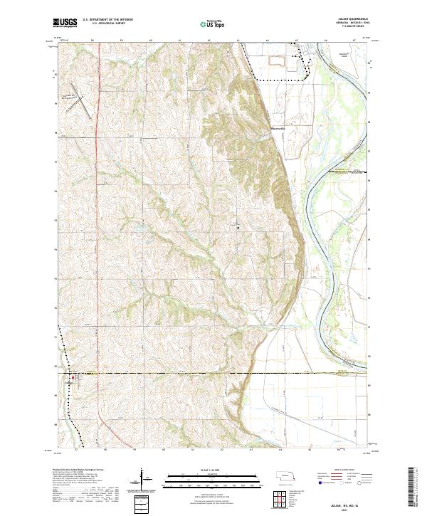
2021 Map of Julian
USGS Topo · Published 2021About this map
Minersville sits at the edge of the bluffs overlooking the Missouri River, marking a landscape where the upland plains of eastern Nebraska drop toward the river bottomlands. This 2021 survey illustrates the rural character of the border region where Otoe, Nemaha, and Fremont counties meet. Along the western edge, the village of Julian anchors a grid of agricultural section roads including S RD and 737 RD. The drainage patterns of Camp Cr and its branches, the N Br Camp Cr and S Br Camp Cr, reveal the dissected nature of the terrain between the river and the inland settlements. Historical footprints are preserved at the Camp Creek Cem and the Buffalo City Reservoir, while the Steamboat Trace Trl follows a corridor near the water. The map also includes the southern extent of the Nebraska City Municipal Airport and the complex boundary changes at Schemmel Island.
Find a feature on this map
60 named features on this map. Tap any name to fly to it.
Don’t see what you’re looking for? This feature index may not catch every label — zoom into the map to look around manually.
Map Details
Editions of this 2021 Julian Map
This is the sole edition of this map. No revisions or reprints were ever made.
Other maps of this area

1907 · Nebraska City
USGS Topo · 1:62,500

1915 · Nemaha
USGS Topo · 1:62,500

1915 · Howe
USGS Topo · 1:62,500

1939 · Hamburg
USGS Topo · 1:62,500

1939 · Nemaha
USGS Topo · 1:62,500

1941 · Hamburg
USGS Topo · 1:62,500

1949 · Nemaha
USGS Topo · 1:62,500

1955 · Nebraska City
USGS Topo · 1:250,000

1957 · Nebraska City
USGS Topo · 1:250,000

1958 · Nebraska City
USGS Topo · 1:250,000