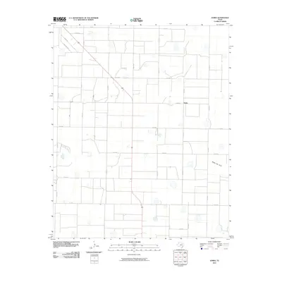
2010 Map of Jumbo
USGS Topo · Published 2010About this map
Jumbo sits at the heart of this Castro County landscape, defined by the precise grid of the Texas Panhandle's agricultural road network. The settlement is positioned along Jumbo Rd at the intersection with Co RD 515, serving as a focal point for the surrounding ranching and farming operations. The terrain is remarkably level, marked by numerous small depressions and the presence of Middle Tule Draw, which cuts across the eastern portion of the quadrangle. This intermittent drainage feature indicates the subtle natural hydrology that exists beneath the engineered regularity of the county roads. The map reveals a land organized by routes like Coronado Rd and Dimmitt Rd, reflecting the late 20th-century development of rural infrastructure designed to connect isolated farmsteads to larger regional markets.
Find a feature on this map
25 named features on this map. Tap any name to fly to it.
Don’t see what you’re looking for? This feature index may not catch every label — zoom into the map to look around manually.
Map Details
Editions of this 2010 Jumbo Map
This is the sole edition of this map. No revisions or reprints were ever made.
Other maps of this area

1954 · Clovis
USGS Topo · 1:250,000

1958 · Clovis
USGS Topo · 1:250,000

1961 · Buffalo Lake
USGS Topo · 1:62,500

1965 · Dimmitt
USGS Topo · 1:24,000

1965 · Dimmitt SW
USGS Topo · 1:24,000

1965 · Nazareth SW
USGS Topo · 1:24,000

1966 · Jumbo
USGS Topo · 1:24,000

1966 · Nazareth NW
USGS Topo · 1:24,000

1966 · Easter
USGS Topo · 1:24,000

1970 · Hereford
USGS Topo · 1:24,000