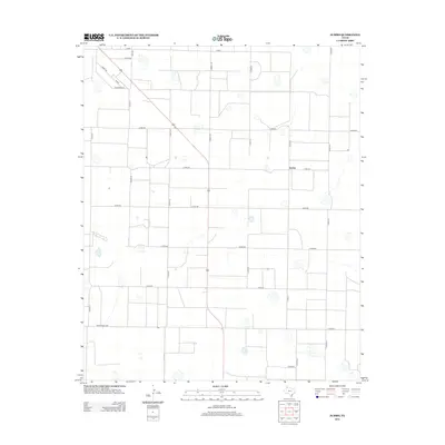
2012 Map of Jumbo
USGS Topo · Published 2012About this map
The settlement of Jumbo defines this portion of Castro County, set within a landscape marked by a highly organized grid of county roads and agricultural infrastructure. A network of arterial routes, including Dimmitt Rd and FM 2943, connects the dispersed farmsteads of the Texas Panhandle. The map reveals the characteristic playa lake depressions scattered across the plains, which serve as vital natural catchments in this semi-arid environment. Significant local thoroughfares like Ranch Road 2397 and Busby Rd demonstrate the modern transportation patterns that support the region's ranching and farming economy. This survey documents the intersection of rural residential life and large-scale land management near the height of the early 21st-century agricultural era.
Find a feature on this map
24 named features on this map. Tap any name to fly to it.
Don’t see what you’re looking for? This feature index may not catch every label — zoom into the map to look around manually.
Map Details
Editions of this 2012 Jumbo Map
This is the sole edition of this map. No revisions or reprints were ever made.
Other maps of this area

1954 · Clovis
USGS Topo · 1:250,000

1958 · Clovis
USGS Topo · 1:250,000

1961 · Buffalo Lake
USGS Topo · 1:62,500

1965 · Dimmitt
USGS Topo · 1:24,000

1965 · Dimmitt SW
USGS Topo · 1:24,000

1965 · Nazareth SW
USGS Topo · 1:24,000

1966 · Jumbo
USGS Topo · 1:24,000

1966 · Nazareth NW
USGS Topo · 1:24,000

1966 · Easter
USGS Topo · 1:24,000

1970 · Hereford
USGS Topo · 1:24,000