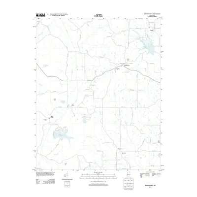
2012 Map of Jumpertown
USGS Topo · Published 2012About this map
Jumpertown serves as a central hub for this Prentiss County landscape, where the headwaters of several drainages begin their descent. The area is defined by a high concentration of small family and community burial grounds, including Morton Chapel Cem and Jumpertown Cem, which offer significant value for genealogical research in this part of Mississippi. To the south, the settlement of Blackland sits near the winding course of Wolf Cr, while the western terrain is marked by King Hollow and the flow of Dry Cr.
Find a feature on this map
90 named features on this map. Tap any name to fly to it.
Don’t see what you’re looking for? This feature index may not catch every label — zoom into the map to look around manually.
Map Details
Editions of this 2012 Jumpertown Map
This is the sole edition of this map. No revisions or reprints were ever made.
Other maps of this area

1921 · Booneville
USGS Topo · 1:48,000

1922 · Booneville
USGS Topo · 1:62,500

1950 · Corinth
USGS Topo · 1:62,500

1951 · Walnut
USGS Topo · 1:62,500

1955 · Ripley
USGS Topo · 1:62,500

1956 · Tupelo
USGS Topo · 1:250,000

1958 · Tupelo
USGS Topo · 1:250,000

1972 · Jumpertown
USGS Topo · 1:24,000
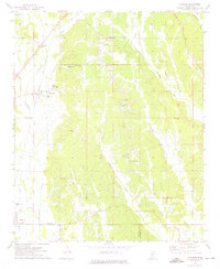
1973 · Wheeler
USGS Topo · 1:24,000
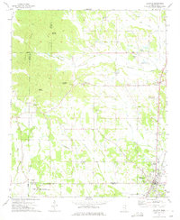
1973 · Baldwyn
USGS Topo · 1:24,000